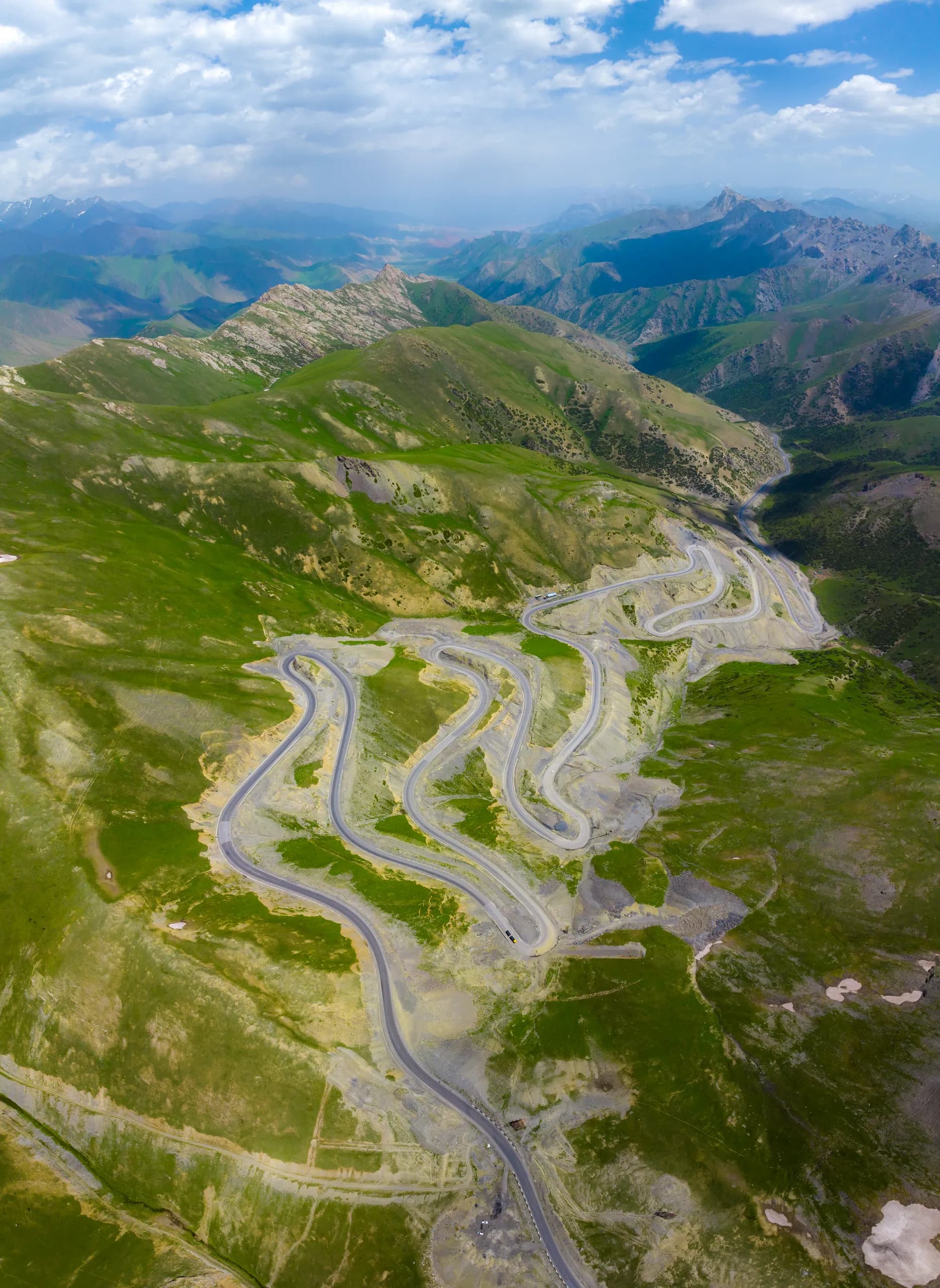
Pamir Highway Adventure: Osh to Dushanbe in 7 Days
Cross two countries, four passes above 4,000 m and a string of turquoise lakes on one of the world's greatest road trips.
7 daysfrom 475 USD

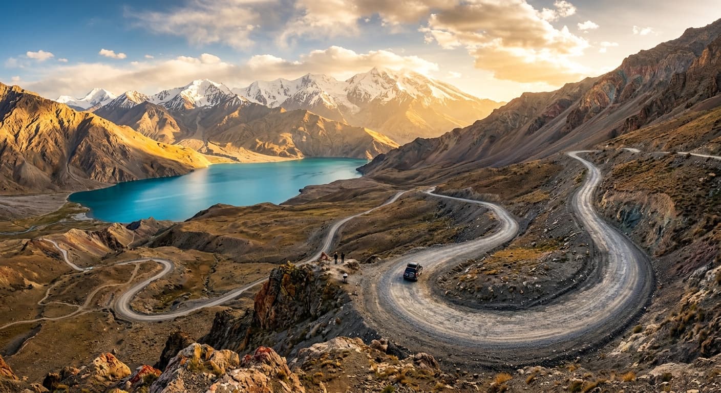
Group and private 4×4 tours from Osh to Dushanbe across 1,252 km of raw high-altitude beauty.
Plan your expeditionRoutes and prices
Compare directions, duration and prices. If dates are not published yet, ask us for a private departure.
Cross two countries, four passes above 4,000 m and a string of turquoise lakes on one of the world's greatest road trips.
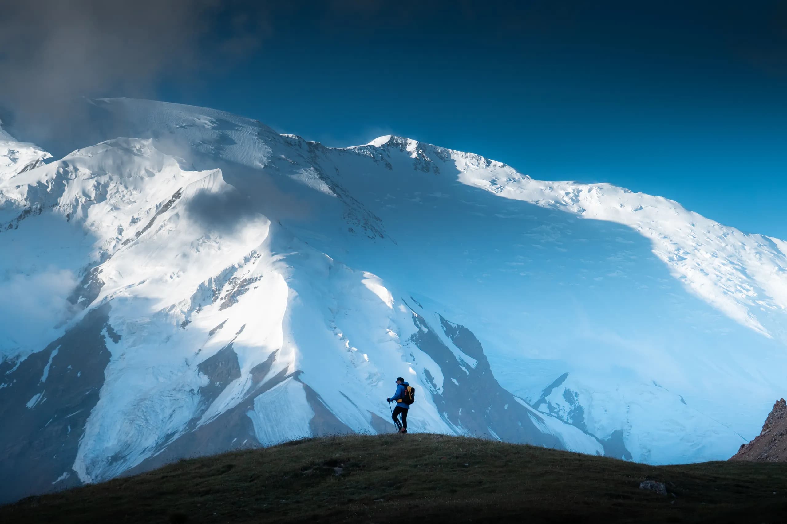
Follow the Panj River along the Afghan border, sleep in Pamiri homestays and Kyrgyz yurts, and cross the highest pass on the Pamir Highway before rolling into ancient Osh.
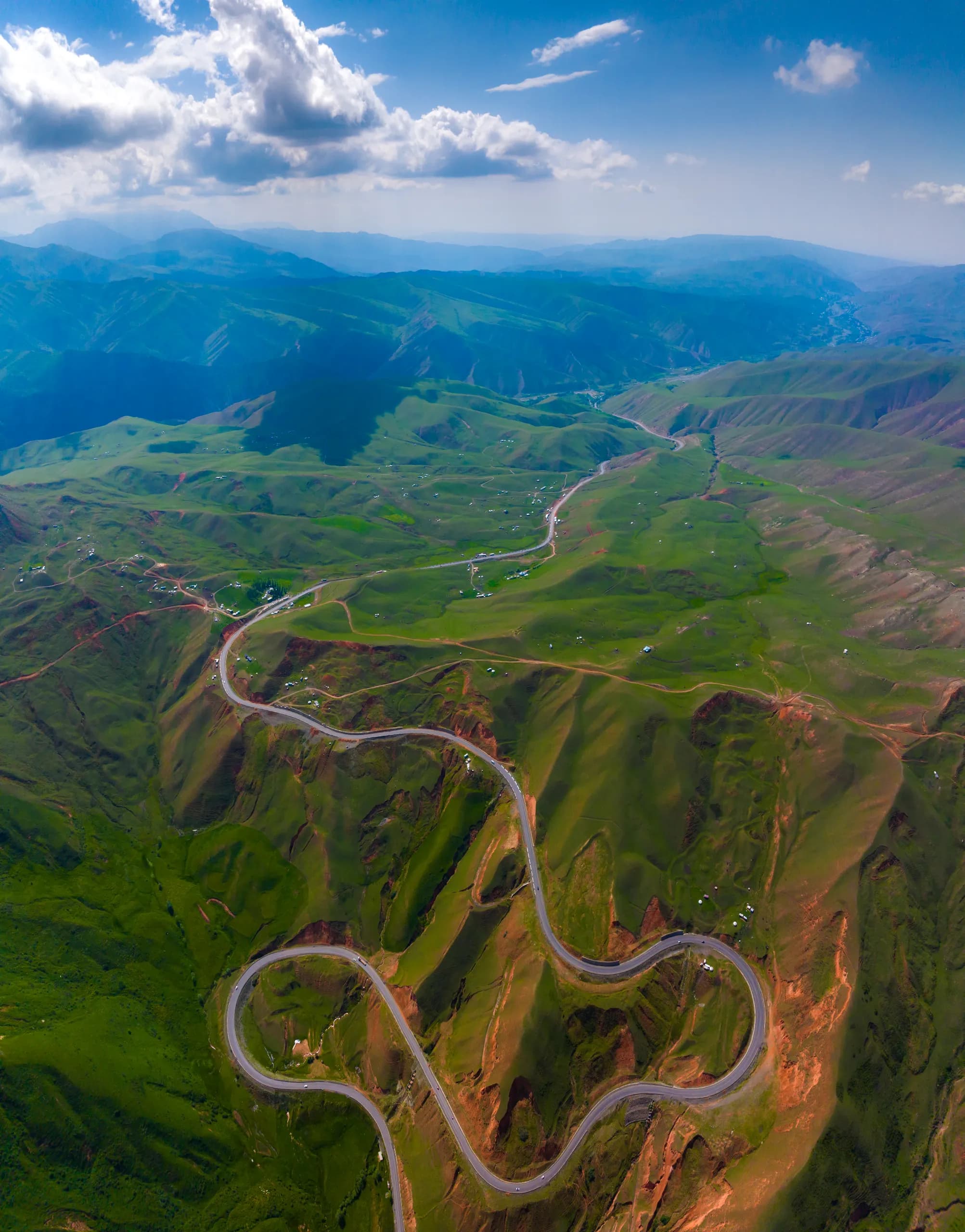
The full Pamir experience: a hidden roadless village, ancient fortresses, a summit above 4,400 m and nights in yurts and homestays, ending in ancient Osh.
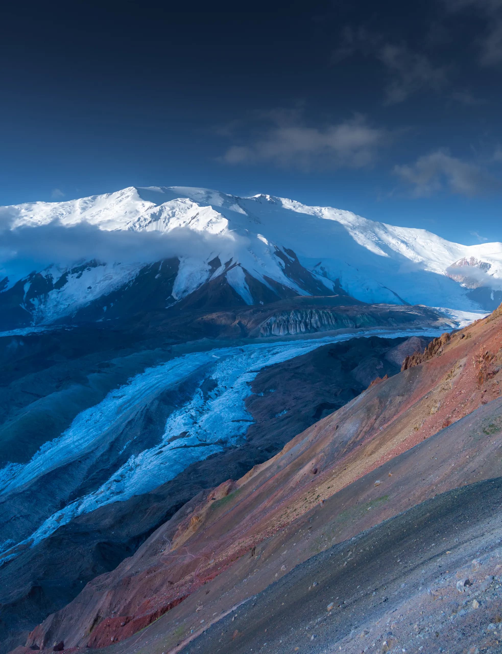
Cross two countries, five 4000m+ passes and a handful of turquoise alpine lakes on the legendary Pamir Highway — from ancient fortresses to nights under nomad stars.
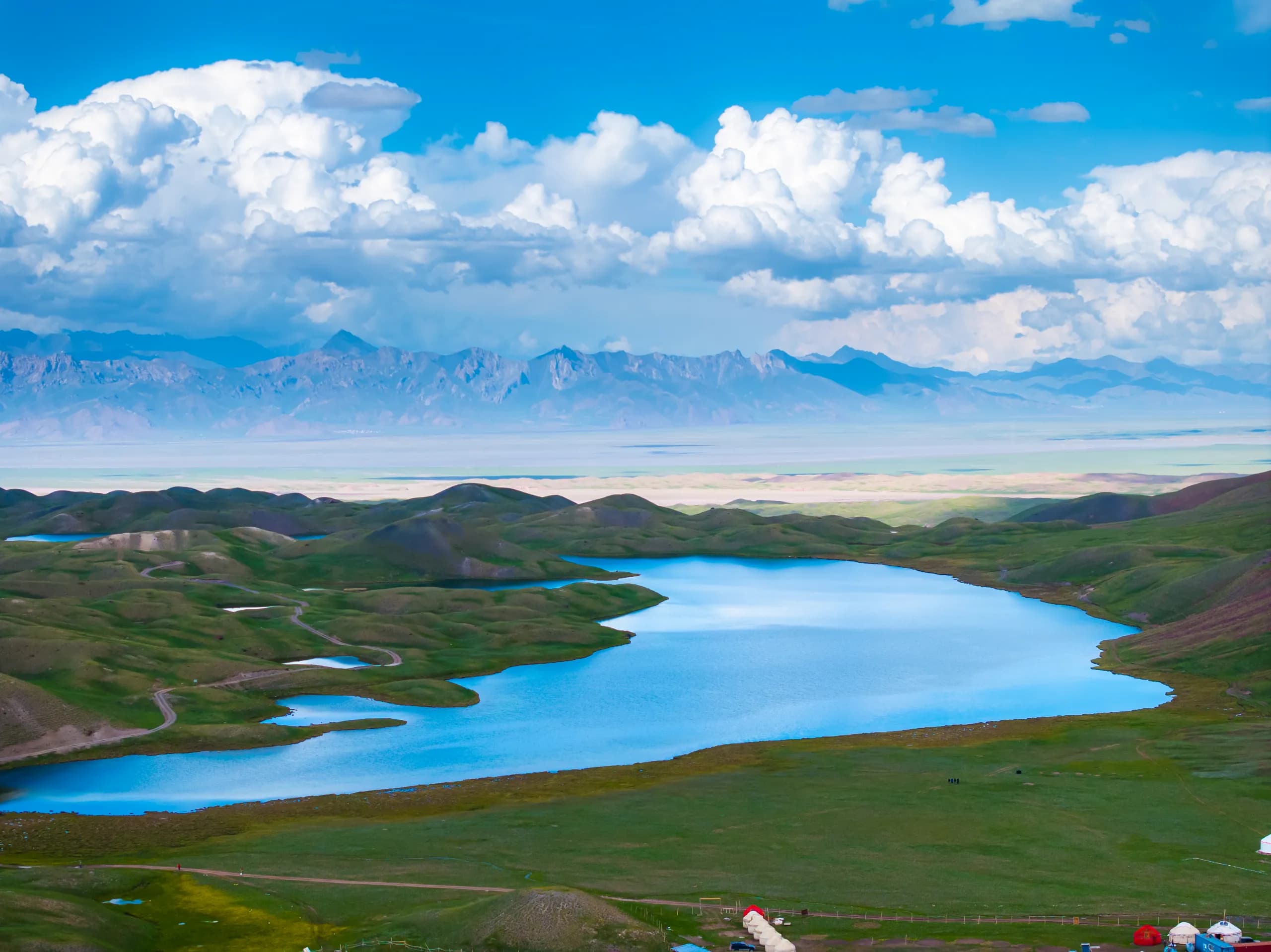
Cross the Roof of the World by 4x4 — glacier passes above 4,000m, mirror-like alpine lakes, the Afghan border and nights with Pamiri families you won't forget.
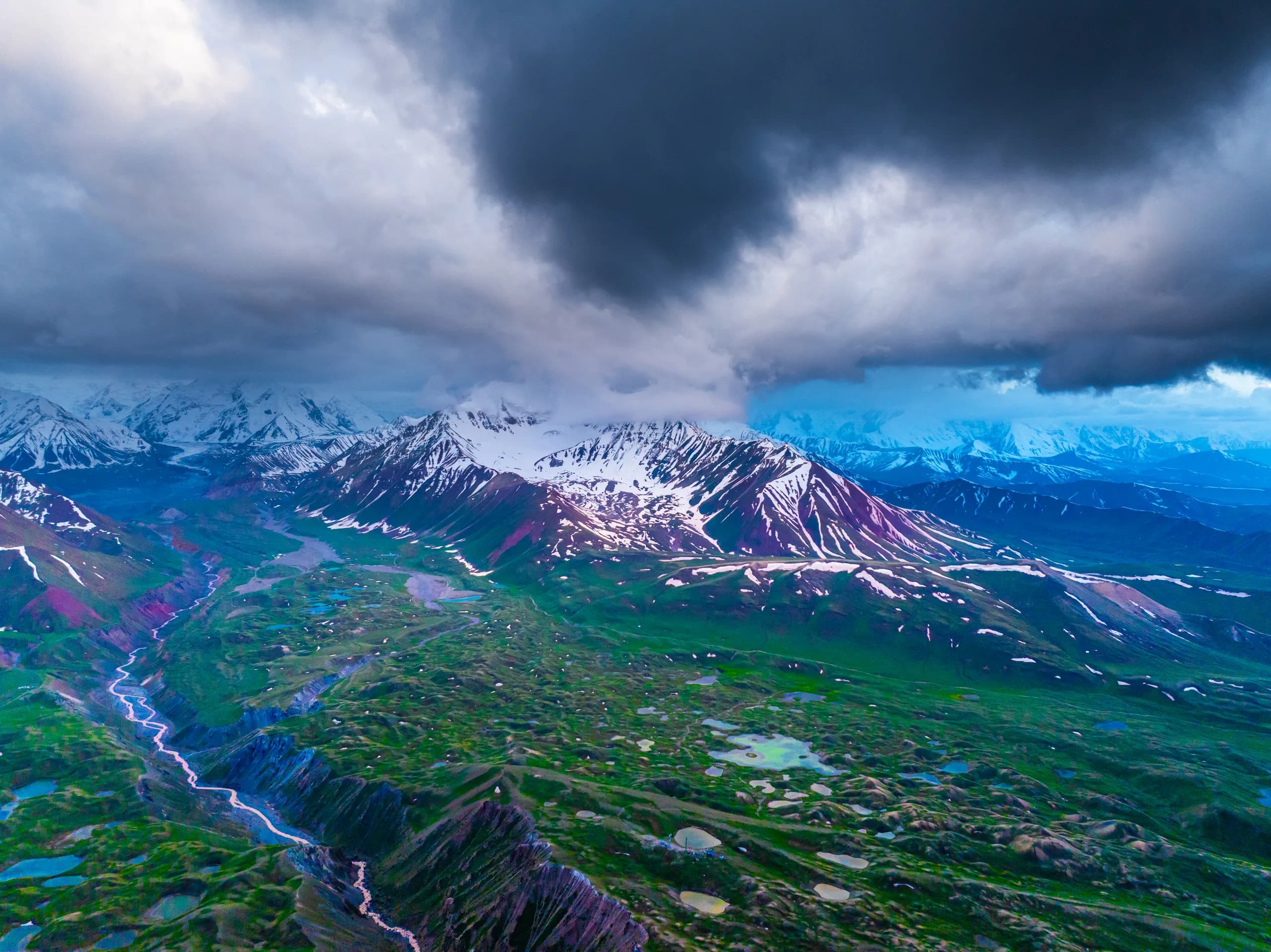
From nomad yurts on Song Kul to the world's highest border passes and Afghanistan's Hindu Kush skyline — the ultimate 4x4 crossing of Kyrgyzstan and Tajikistan.
“Not a road. A corridor through another planet.”
The Pamir Highway is the second-highest international highway on Earth, after the Karakoram. Its highest point — Ak-Baital Pass at 4,655 m — stands taller than the Matterhorn. For most of its length the road runs through a vast, silent plateau where the air is thin, the landscape is brutally barren, and the sky feels physically closer than usual. This is not a comfortable drive. It is an experience that realigns your sense of scale.
Photos from travellers who have driven the M41 with us.
Six places along the M41 that stop conversation. None of them are decorative — every one earns its place.
Drive alongside the Panj River with Afghanistan just meters away on the other side. Yamchun Fortress perched on a cliff over the Hindu Kush, the Bibi Fatima hot springs, and Bronze Age petroglyphs at Langar.
A meteor-impact lake 25 km across. The water shifts from cobalt to grey with the sky. At sunrise the snow peaks reflect off its surface like a mirror. No trees, no noise, no distractions.
The highest driveable point of the route. A mineral, lunar landscape — oxidized reds, whites and greys, with glaciers hanging above 5,000 m. Altitude sickness is real here.
A raw, windswept Kyrgyz town at the edge of the inhabited world. Yaks by the road, Marco Polo sheep on the plateau, Soviet-era truck parts for sale at the bazaar.
A short detour off the main road. Bulunkul is one of the coldest inhabited places in Central Asia. Yashilkul's mirror reflections are worth every kilometre of the detour.
Gorno-Badakhshan's mountain capital — a poplar-lined valley at the confluence of the Panj and Gunt rivers. Cafes, a botanical garden, and a surprisingly good regional museum.
Four segments, four driving experiences. A solid 4WD with good ground clearance is essential — carry a full-size spare and fuel up whenever you can.
Paved, good condition. Views of Pik Lenin (7,134 m).
Kyzyl-Art border crossing, gravel and rocky sections.
Rough gravel. River crossings possible after heavy rain.
Narrow canyon road along the Panj. Mixed asphalt and dirt.
But you do need a solid 4WD SUV with good clearance, a full-size spare (two if possible), and a basic toolkit. Fuel up at every opportunity — stations are sparse and unreliable beyond Murghab. Our fleet is built for exactly this.
Three documents. We help you with every one.
Applied online via the official portal. Takes 3–5 business days.
For Gorno-Badakhshan. $30 surcharge on the e-visa. Bring 10 printed copies — each checkpoint takes one.
No permit required for most nationalities. Passport on arrival is enough.
The road technically never closes. The Pamirs have their own calendar.
Best window. Passes open, weather stable, guesthouses operational.
Risky. Passes may still have snow, some guesthouses closed.
Only for very experienced winter drivers. Most passes closed.
April and May bring mudslides and glacial meltwater flooding that regularly block sections for days.
Osh → Dushanbe, in the order most travellers actually drive it.
South through the Alai Valley with views of Pik Lenin. Cross Kyzyl-Art Pass into Tajikistan. Arrive at Karakul Lake. Overnight in a lakeside homestay.
Morning walk along the lake shore. Cross Ak-Baital Pass (4,655 m) — the roof of the road. Descend into Murghab, explore the bazaar, overnight.
Optional detour to Bashgumbez to spot Marco Polo sheep and yaks. Continue to the Wakhan turnoff. Overnight at Bulunkul or Yashilkul.
Drive the Wakhan corridor with Afghanistan across the river. Yamchun Fortress. Bibi Fatima hot springs. Overnight in a Pamiri house in Langar.
Langar petroglyphs in the morning. Drive to Khorog. Rest, resupply, botanical garden. Overnight in Khorog.
Follow the Panj River canyon with Afghanistan meters away — one of the most dramatic stretches of the entire route. Overnight in Kalai-Khumb.
Final leg along the Panj and then across the Shuroabad Pass. Arrive in Dushanbe.
Everything you will wish you had brought.
Warm clothing for all weather — temperature swings of 30°C in a day are normal at altitude. Frost at Ak-Baital even in July.
Cash in Tajik somoni and Kyrgyz som — there are no ATMs between towns.
Water filter or purification tablets — tap water is not reliable on the plateau.
Altitude-sickness medication (acetazolamide / Diamox) — Murghab at 3,600 m catches many travellers off-guard.
Physical maps — cell signal is near-zero for most of the route.
A jerrycan of extra fuel — the next station may be 200 km away.
This is not a road for people who need convenience. There are no gas-station coffee shops, no reliable Wi-Fi, and stretches of gravel that will rattle your fillings loose. Mechanical failures on rougher sections are still common — travellers reported them almost daily through 2024.
But the trade-off is extraordinary. You drive through a landscape most humans have never seen and never will. The silence on the Murghab plateau at night, the stars at 4,000 m, the fact that Afghanistan is right there across the river — it genuinely resets your perspective.
One price. Everything you need for the road.
Pick a date. We will get back to you within 2 hours with a plan.
Wonderstan is a Kyrgyzstan-based platform for private transfers and tours across Central Asia. We connect travellers with verified local drivers, offer fixed transparent pricing, and are committed to improving tourism in the region.
Learn more about usYes. You need a Tajikistan e-visa (~$50) and a GBAO permit (+$20) for the Gorno-Badakhshan Autonomous Oblast. Kyrgyzstan offers free visa-on-arrival for most nationalities. We assist with permit guidance. Bring 10 printed copies of your GBAO permit for checkpoints.
June to September is the ideal window. July–August are the warmest months with the most daylight. May and October are possible but colder, especially at night. Outside this period high-altitude passes can be snow-blocked and dangerous.
We use well-maintained 4×4 vehicles — Toyota Land Cruiser, Mitsubishi Pajero, or Nissan Patrol. All vehicles carry spare tyres, a full tool kit, and a first-aid kit. A 4×4 with high ground clearance is essential for the unpaved mountain sections.
The Osh–Dushanbe route (1,252 km) takes 7–10 days at a comfortable pace with stops, hikes and sightseeing. The Osh–Khorog route takes 4–6 days. Non-stop driving in 3–4 days is technically possible but defeats the purpose.
Yes. Ak-Baital Pass reaches 4,655 m. Drink 3–4 litres of water daily, avoid alcohol at altitude, and ascend gradually. Acetazolamide (Diamox) is effective — consult your doctor before the trip.
The transfer includes the vehicle, driver, all fuel, road and border fees, plus stops at key viewpoints. Accommodation, meals and guided excursions are additional.
The Pamir Highway is safe for travellers — crime is essentially zero, and local communities are extremely hospitable. The real risks are altitude, weather and road conditions.
No — there is no legal crossing on this route. But in the Wakhan Corridor you drive along the Panj River with Afghan villages clearly visible on the opposite bank.
Live schedule for every Pamir Highway tour we run — pick a date and secure your seat.
The tour runs with at least 2 participants. If the group has only 2 people, the price per person may be $100–150 higher than shown.
Loading schedule…
© 2026 Wonderstan · Private Transfers in Kyrgyzstan